Plan road trips day by day
Instay is a road-trip planner for the US. Add your stops and nights and see the drive time and miles for each day, with long days flagged. No surprise charges.
One trip is free. Runs in your browser: no app, no card.
Pick a route, make it yours
Choose a classic road trip and watch it drawn by road. Change the nights and the days rebuild; click the map to add a stop. When it looks right, open it in the planner exactly as it is.
Click the map to add a stop at the end. Tap or point at a leg for its drive time.
- Distance
- Driving
- Days
- San Francisco1 nt
- Santa CruzPass
- Monterey1 nt
- Big Sur1 nt
- Cambria1 nt
- Santa Barbara1 nt
- MalibuPass
- Los Angeles1 nt
Paste the list from your notes
Copy an itinerary from your notes, an email or a group chat and paste it in. Day numbers, bullets and notes after a dash are left out. Each line is matched to a city or park; you check the matches, and the stops land on the map.
Try it with your list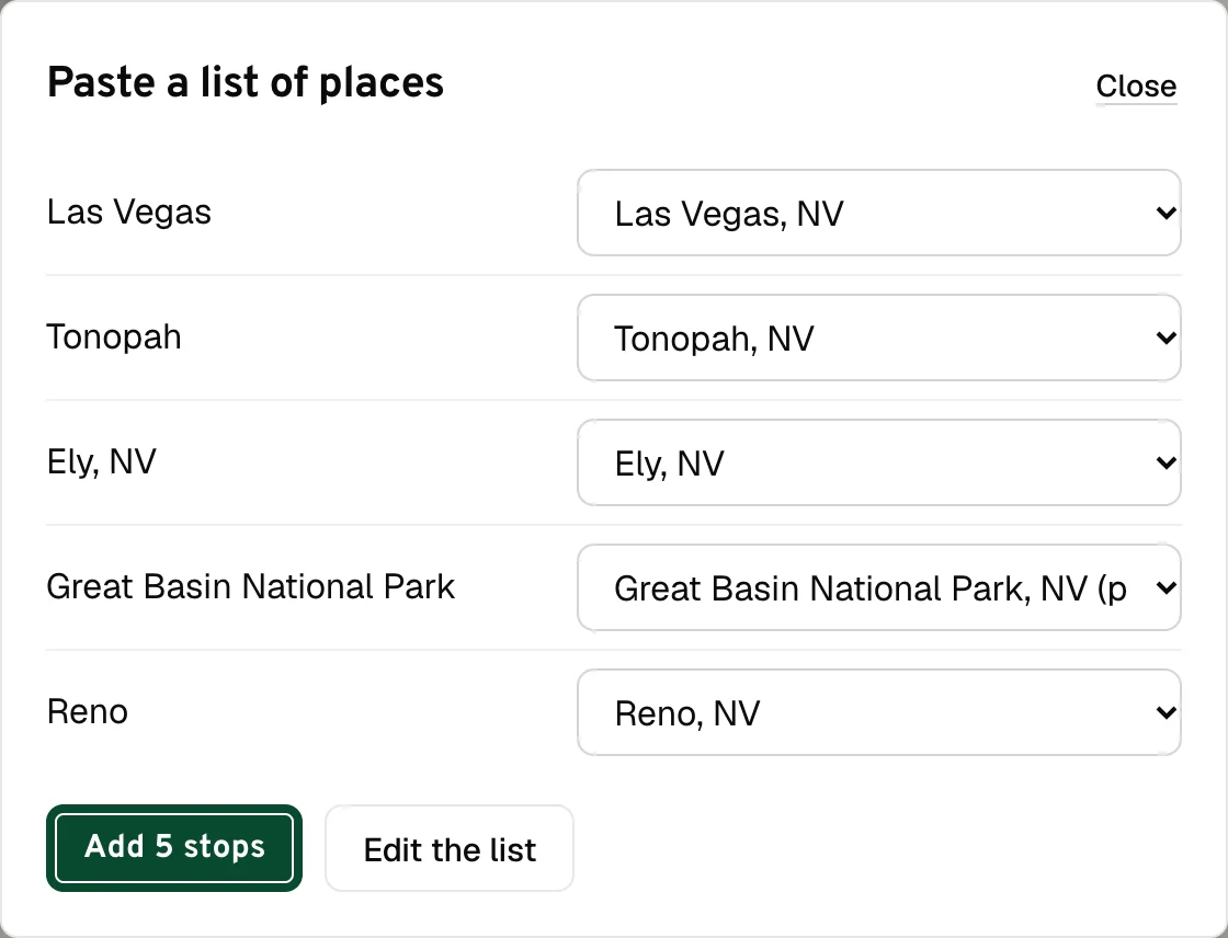
Road trips to start from
23 US routes with their stops, nights and a day-by-day plan. Open one in the planner and make it yours.
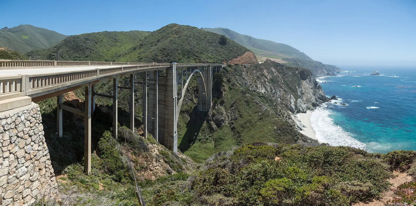 Pacific Coast Highway460 mi · 8 h 06 min at the wheel
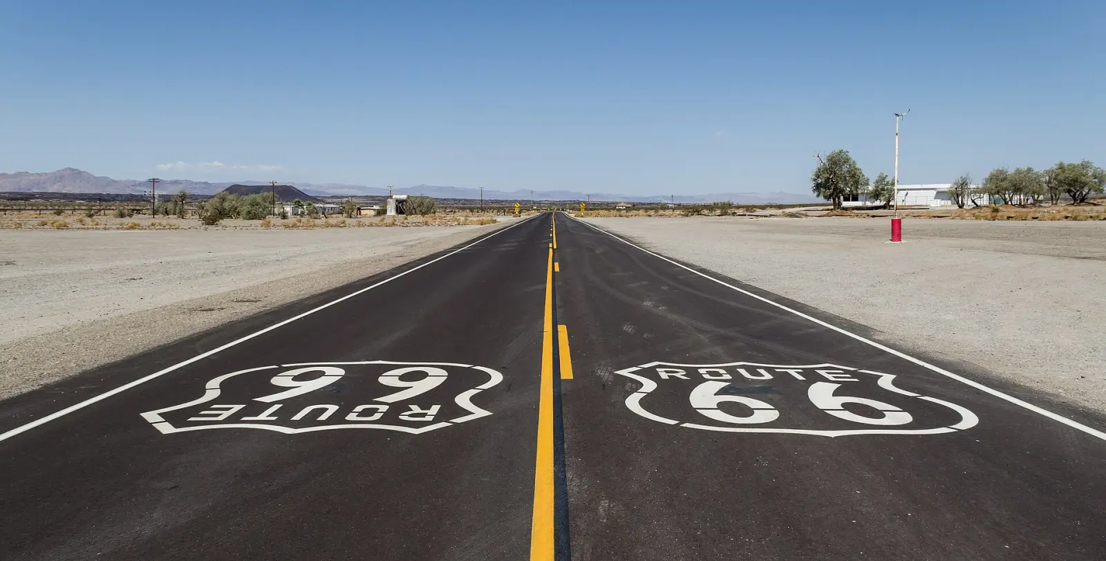 Route 662,163 mi · 31 h 14 min at the wheel
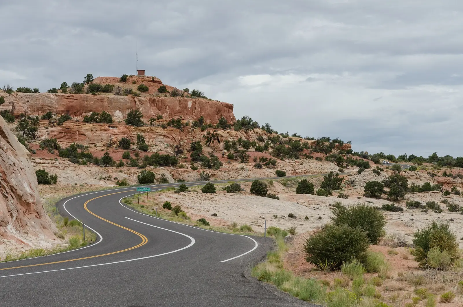 Utah's Mighty 5760 mi · 13 h 06 min at the wheel
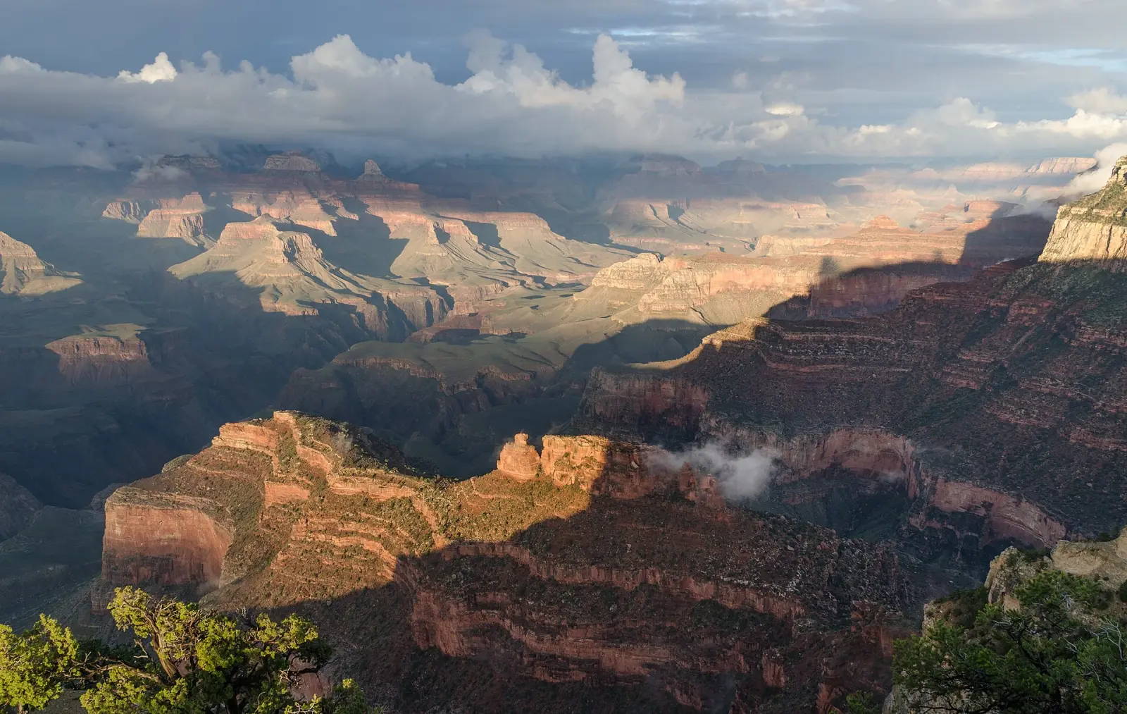 Grand Canyon loop from Las Vegas701 mi · 11 h 32 min at the wheel
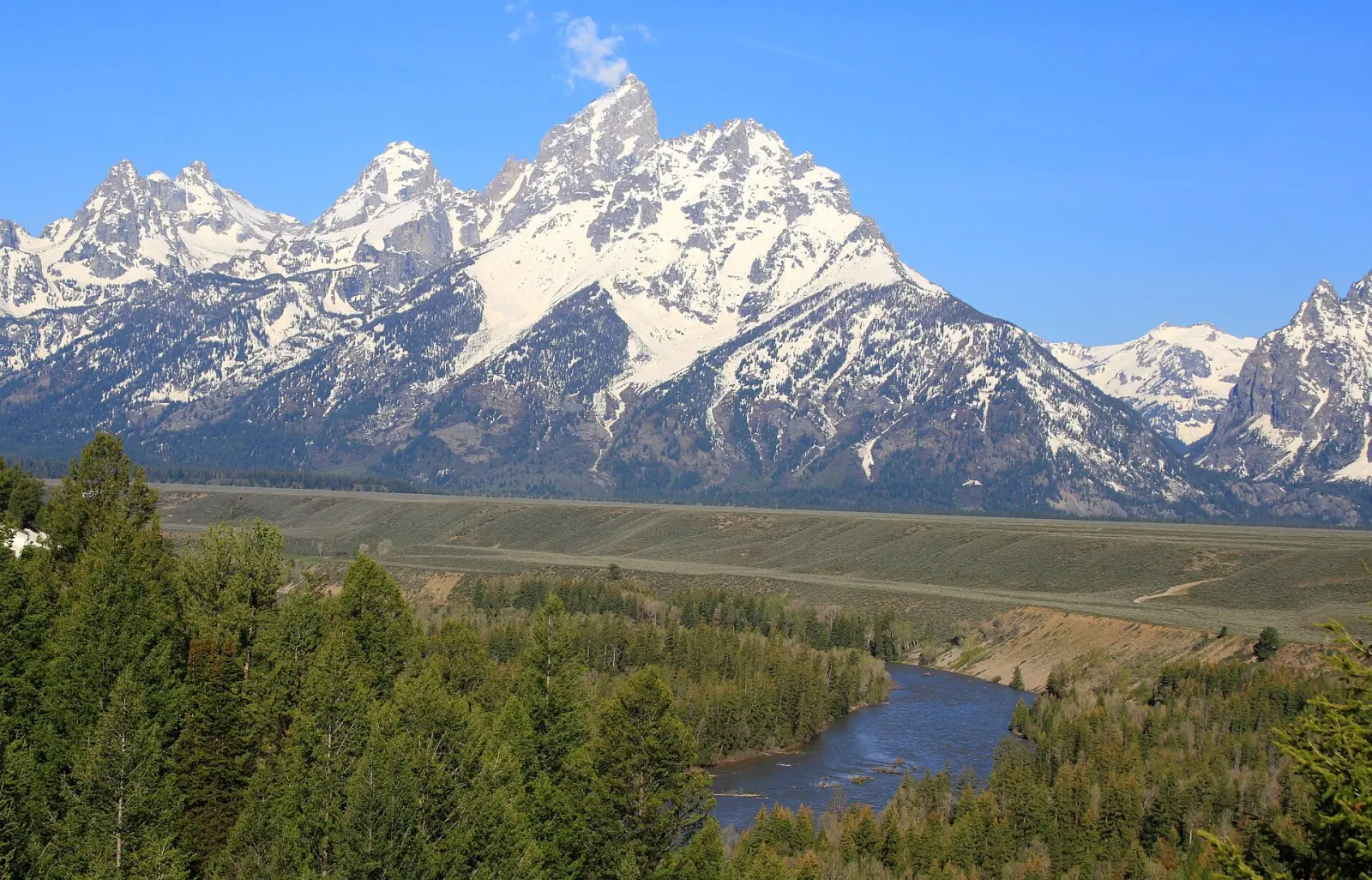 Yellowstone and Grand Teton535 mi · 9 h 37 min at the wheel
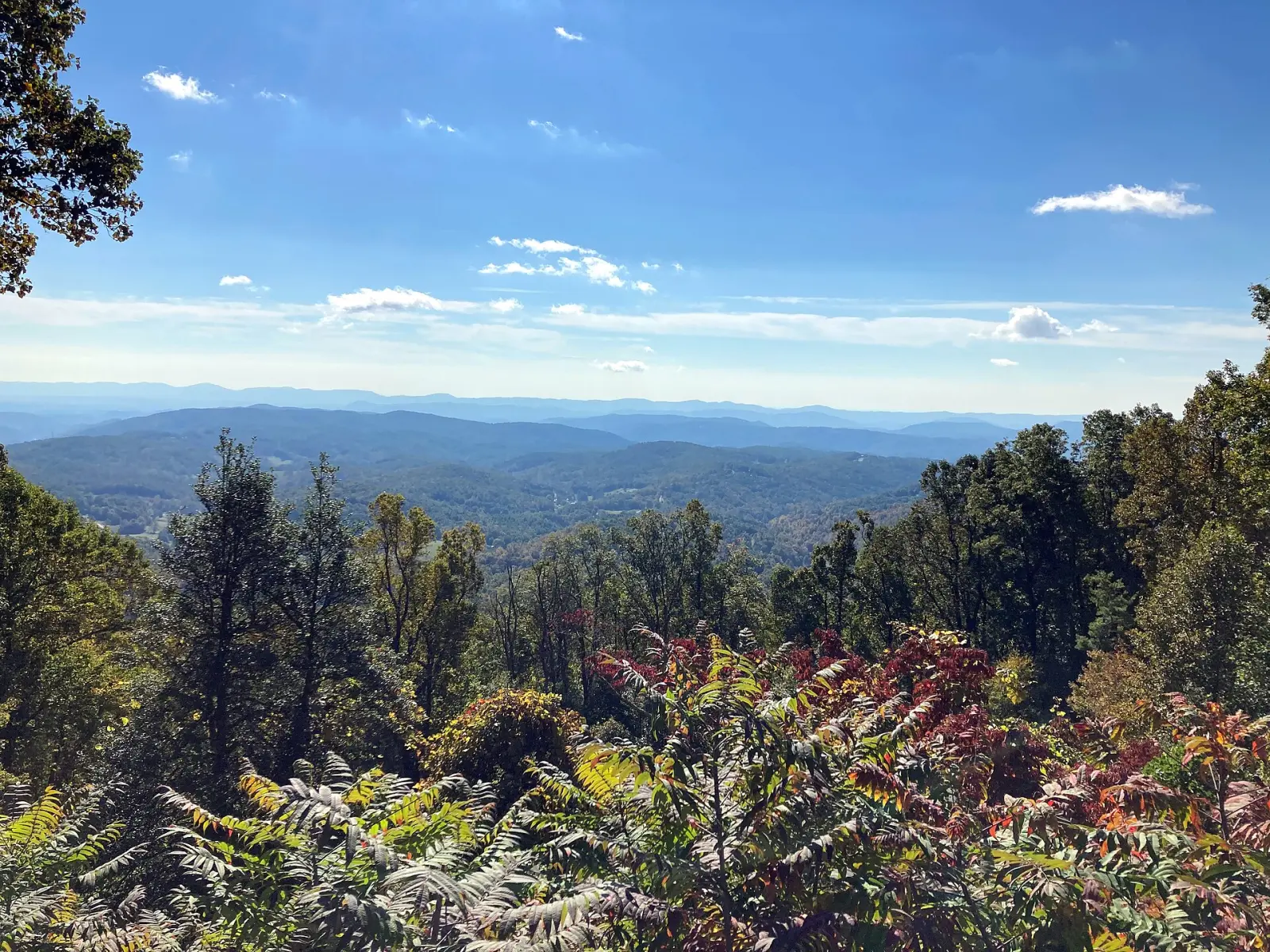 Blue Ridge Parkway412 mi · 7 h 13 min at the wheel
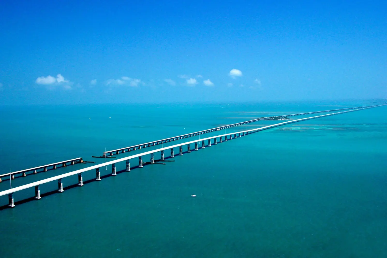 Florida Keys161 mi · 3 h 18 min at the wheel
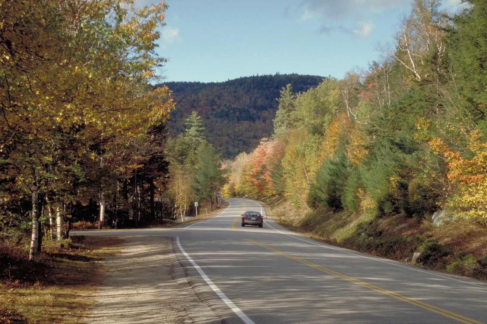 New England fall foliage492 mi · 9 h 07 min at the wheel
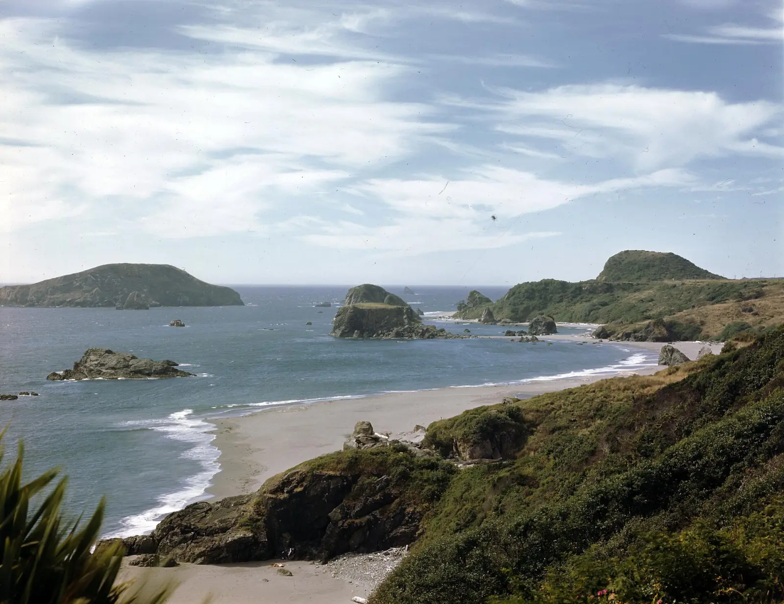 Oregon Coast340 mi · 7 h 07 min at the wheel
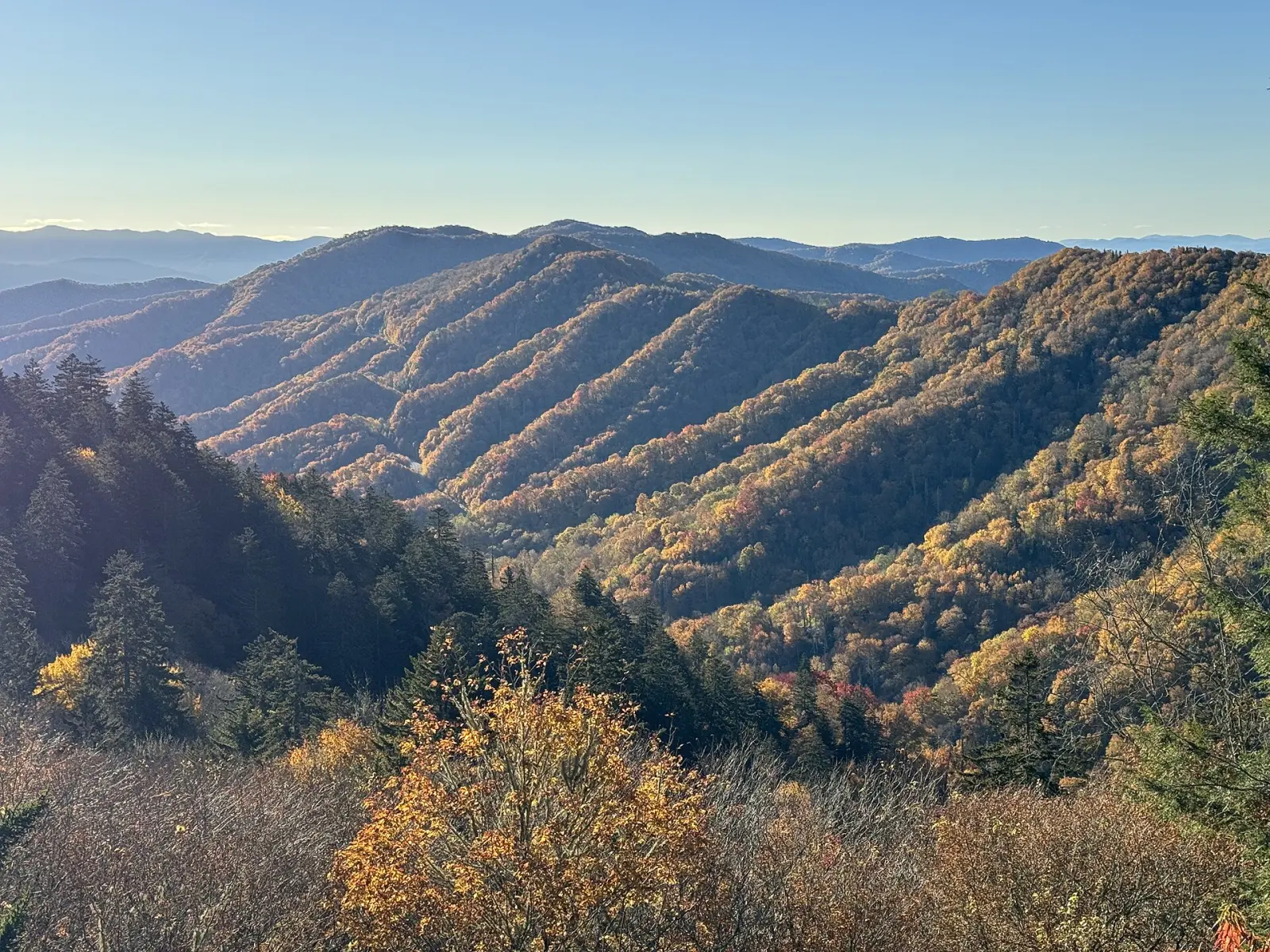 Great Smoky Mountains129 mi · 2 h 49 min at the wheel
No surprise charges
One trip is free, with no card and no end date. Pro is $39 a year and renews at the same price. Cancel from your account at any time.
Pricing detailsFree
$0 forever
- 1 road trip
- Up to 25 stops
- Drive times for every leg and day
- Share link anyone can open
Pro
$39 / year
- Unlimited road trips
- Up to 200 stops per trip
- Send each day to Google Maps
- GPX export for any GPS app
- Printable trip plan
Common questions
Do I need to install an app?
No. Instay runs in the browser, on your phone or your computer.
Do I need an account to start?
No. Open the planner and start adding stops; the draft stays in your browser. You sign up when you want to save or share the trip.
What does the free plan include?
One road trip with up to 25 stops, the drive time and miles for every leg and day, and a share link anyone can open. It doesn't expire.
What does Pro add?
Unlimited trips, up to 200 stops per trip, each day sent to Google Maps, GPX export and a printable plan, for $39 a year.
How do I cancel Pro?
From Billing in your account, at any time. Pro stays on until the end of the year you paid for. See the refund policy.
Where can I plan a trip?
Anywhere you can drive in the United States. Search for US cities and towns, and for parks: national parks, state parks, monuments and recreation areas.
How are drive times worked out?
Each leg is routed by road for a car, without live traffic. Leave room for fuel, food and views. Any day with more than six hours of driving is flagged.
Does Instay use AI?
No. You choose the stops and the nights; the planner works out the roads, the drive times and the days.
Your first trip is free
Add a first stop and watch the days take shape. No card, no app.
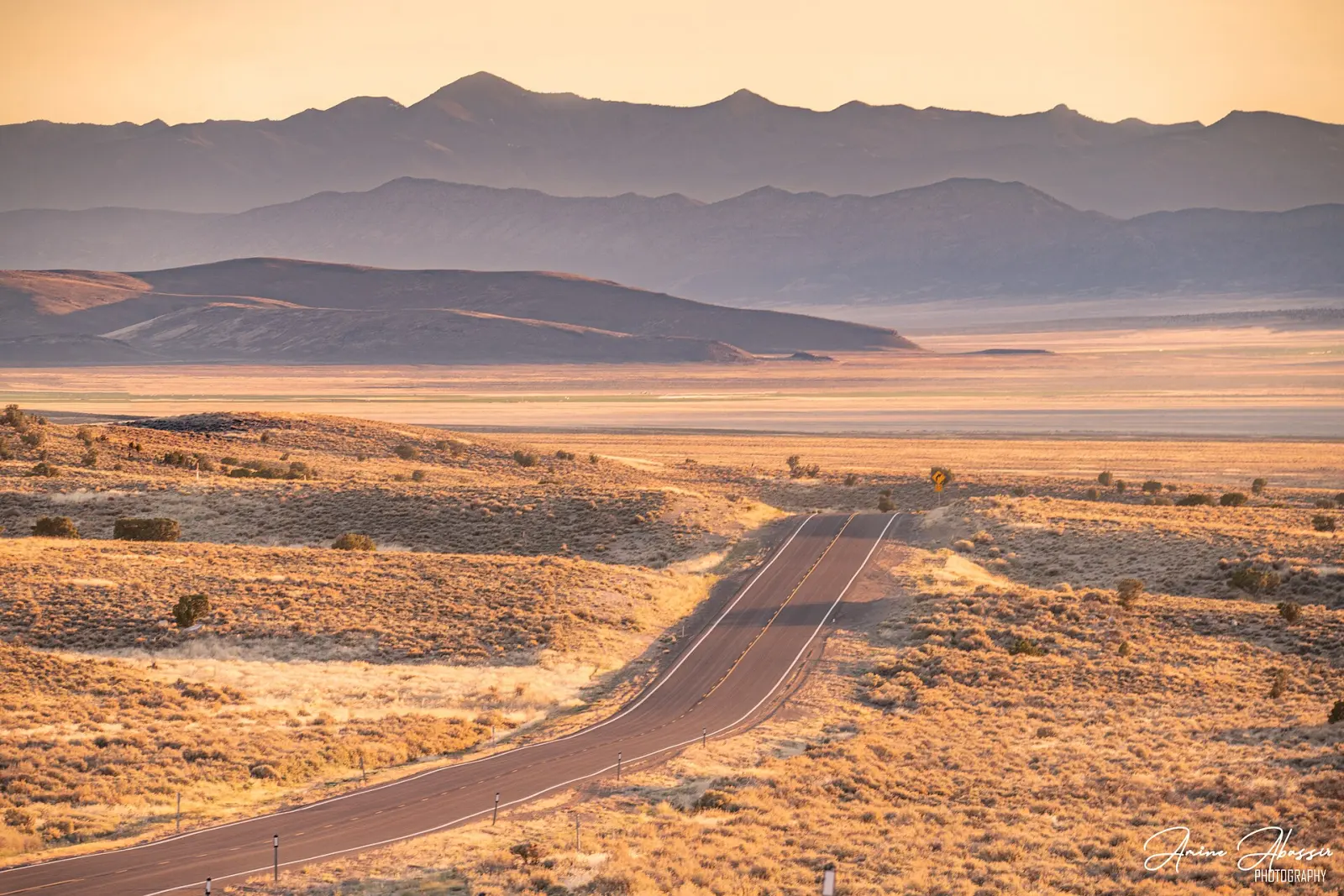
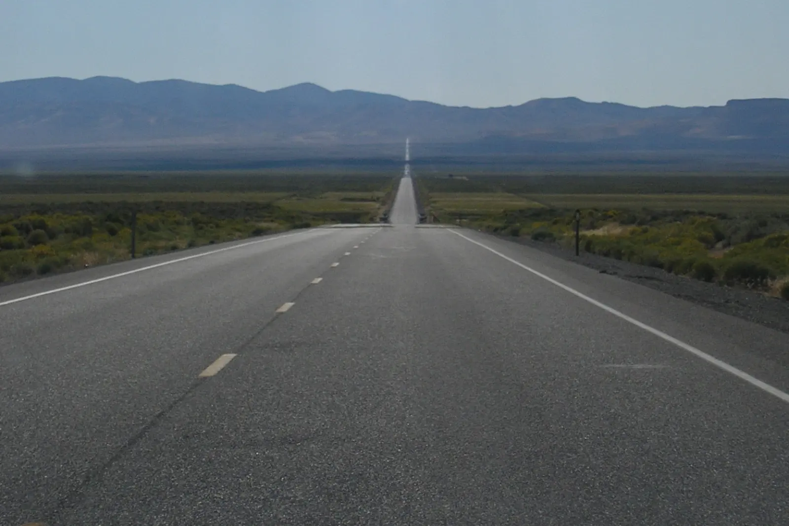
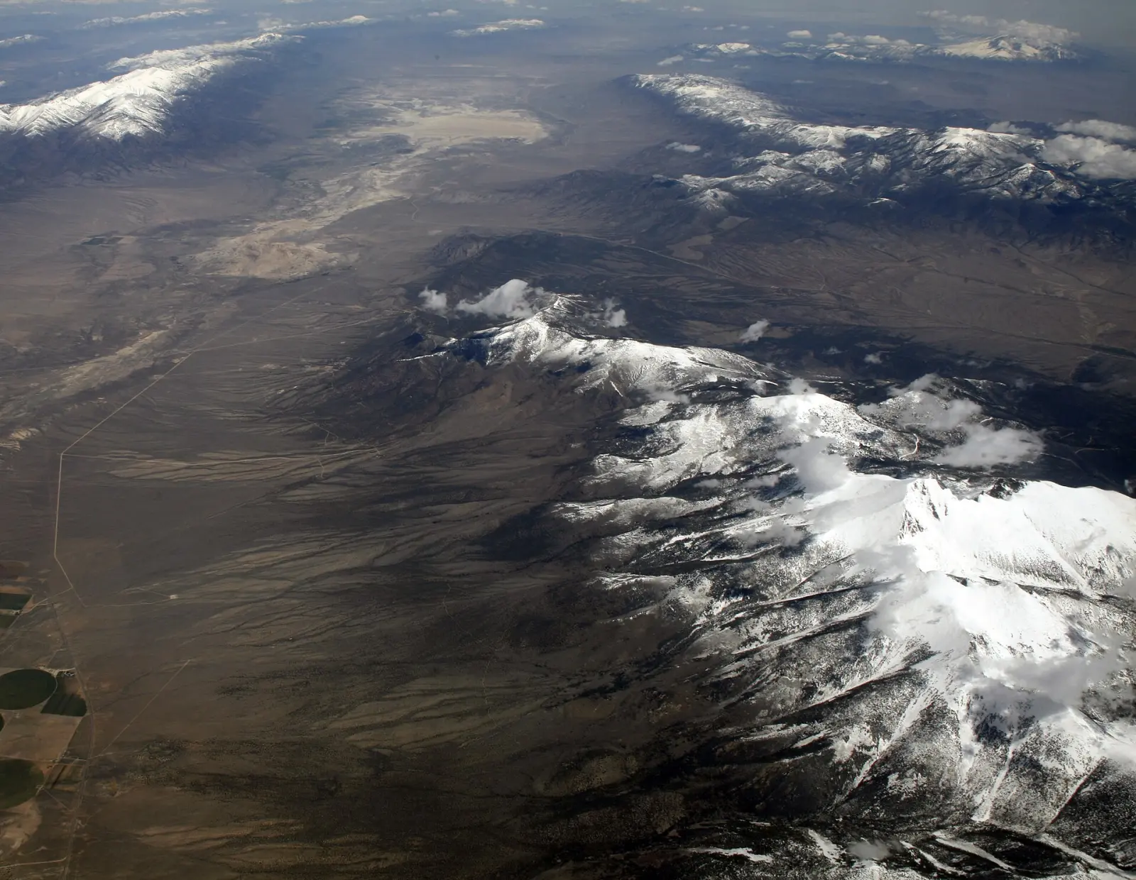
Start planningPhotos, via Wikimedia Commons: “Nevada Highway 50 Sunset” by Amine Abassir, CC BY-SA 4.0; “Us route 50 nevada” by Regulator78, public domain; “Wheeler Peak and Great Basin National Park” by Doc Searls, CC BY 2.0; “A Road Through The Desert” by Daniel Ryan, CC BY 3.0; “Bixby Creek Bridge, California, USA - May 2013” by Diliff, CC BY-SA 3.0; “Amboy (California, USA), Hist. Route 66 -- 2012 -- 1” by Dietmar Rabich, CC BY-SA 4.0; “Utah State Route 12 110814 1” by DXR, CC BY-SA 3.0; “Grand Canyon Powell Point Evening Light 02 2013” by Tuxyso, CC BY-SA 3.0; “Grand Teton from the Snake River Overlook” by Frank Kovalchek, CC BY 2.0; “Blue Ridge Parkway October 2022 1 (Stoney Fork Overlook)” by Michael Barera, CC BY-SA 4.0; “Seven Mile Bridge, Florida Keys aerial (2003)” by United States Department of Transportation, Public domain; “Kancamagus Scenic Byway - Fall Foliage Along the Kancamagus Highway” by Unknown author, Public domain; “Oregon coast taken from Highway 101 near Brookings, Oregon (3388091714)” by OSU Special Collections & Archives : Commons, Public domain; “Newfound Gap - October 2023 - Sarah Stierch 03” by Missvain, CC BY 4.0. All cropped.


