Utah Mighty 5 road trip: Zion, Bryce, Capitol Reef, Arches and Canyonlands
All five of Utah's national parks in one loop, starting from Las Vegas: Zion, Bryce Canyon, Capitol Reef, then Arches and Canyonlands from Moab.
- Stops
- 6
- Nights
- 9
- Driving
- 760 mi
Free, no account needed. Change any stop or night once it’s open.
The route by road
The stops, in order
Las Vegas, Nevada
1 night
The nearest big airport to Zion.
2 h 27 min · 163 mi from Las Vegas
Springdale, Utah
2 nights
The town at Zion National Park's main entrance.
1 h 55 min · 89 mi from Springdale
Bryce Canyon National Park, Utah
1 night
Hoodoo amphitheaters on the high plateau.
2 h 35 min · 118 mi from Bryce Canyon National Park
Torrey, Utah
1 night
Gateway town for Capitol Reef National Park. Scenic Byway 12 leads here from Bryce.
2 h 31 min · 156 mi from Torrey
Moab, Utah
3 nights
Base for Arches and Canyonlands national parks.
3 h 39 min · 234 mi from Moab
Salt Lake City, Utah
1 night
Fly home from here, or loop back to Las Vegas.
Day by day
9 days with the nights above. Drive times are for a car without traffic; a day over six hours is flagged.
- No driving
Day 1: In Las Vegas
- 2 h 27 min · 163 mi
Day 2: Las Vegas to Springdale
Night in Springdale
- No driving
Day 3: In Springdale
- 1 h 55 min · 89 mi
Day 4: Springdale to Bryce Canyon National Park
Night in Bryce Canyon National Park
- 2 h 35 min · 118 mi
Day 5: Bryce Canyon National Park to Torrey
Night in Torrey
- 2 h 31 min · 156 mi
Day 6: Torrey to Moab
Night in Moab
- No driving
Day 7: In Moab
- No driving
Day 8: In Moab
- 3 h 39 min · 234 mi
Day 9: Moab to Salt Lake City
Night in Salt Lake City
More road trips like this
All 23 road trips
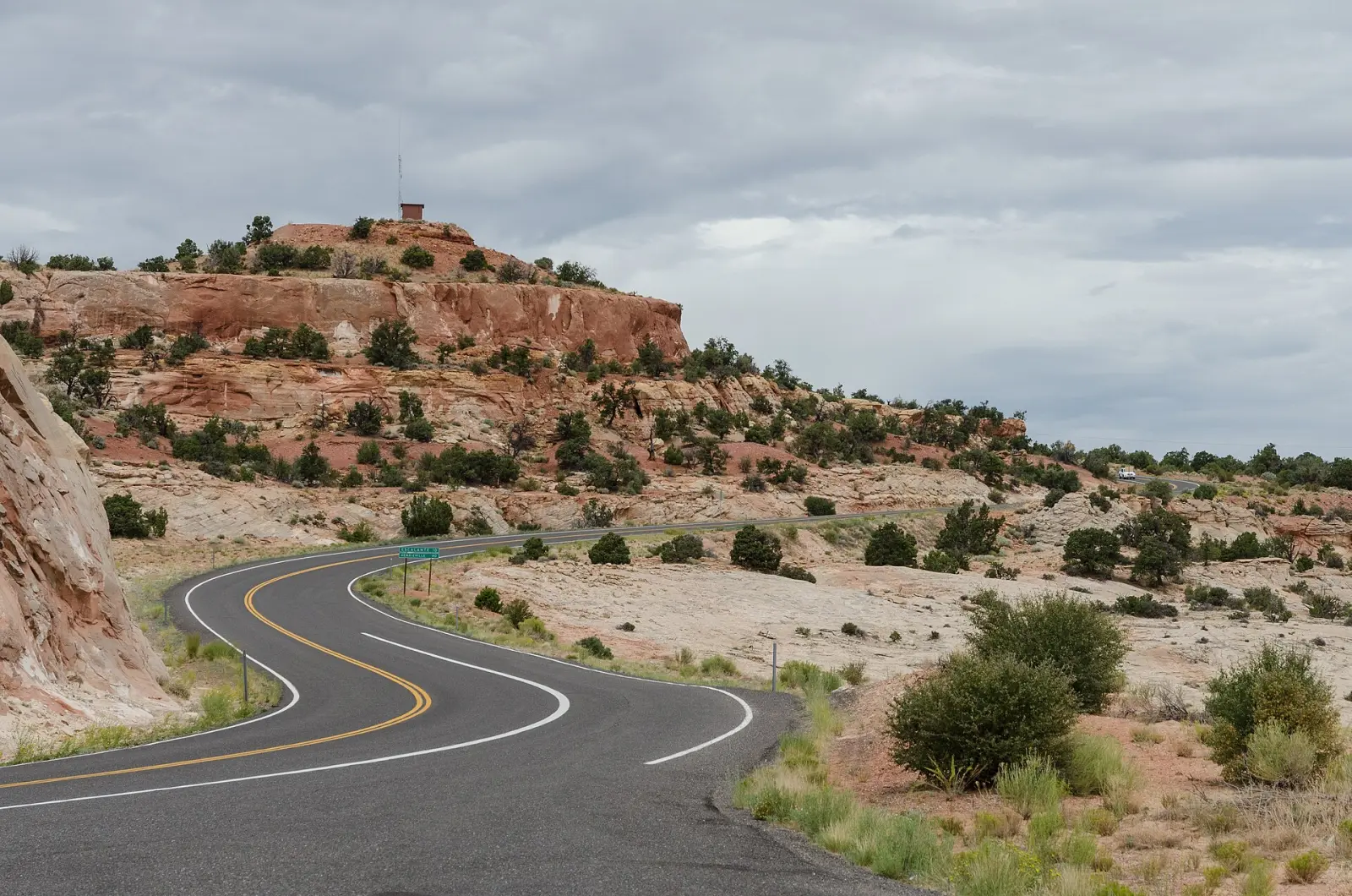
Photo: Utah State Route 12, about 7 miles east of Escalante. “Utah State Route 12 110814 1” by DXR, CC BY-SA 3.0, via Wikimedia Commons. “Grand Canyon Powell Point Evening Light 02 2013” by Tuxyso, CC BY-SA 3.0. “Grand Teton from the Snake River Overlook” by Frank Kovalchek, CC BY 2.0. “Trail Ridge Road, Rocky Mountains National Park 20110824 1” by DXR, CC BY-SA 4.0.


