Blue Ridge Parkway road trip: Virginia to the Great Smoky Mountains
The parkway's 469 miles run along the Blue Ridge from Shenandoah National Park to the Great Smoky Mountains. Speeds are low, so drive times are longer than the miles suggest.
- Stops
- 5
- Nights
- 5
- Driving
- 412 mi
Free, no account needed. Change any stop or night once it’s open.
The route by road
The stops, in order
Waynesboro, Virginia
A stop on the way
Near the parkway's northern end at Rockfish Gap.
1 h 28 min · 95 mi from Waynesboro
Roanoke, Virginia
1 night
The largest city along the parkway.
3 h 05 min · 180 mi from Roanoke
Blowing Rock, North Carolina
1 night
Mountain town near Grandfather Mountain.
1 h 38 min · 86 mi from Blowing Rock
Asheville, North Carolina
2 nights
Biltmore Estate and the River Arts District.
1 h 02 min · 51 mi from Asheville
Cherokee, North Carolina
1 night
The parkway's southern end, at the Great Smoky Mountains.
Day by day
5 days with the nights above. Drive times are for a car without traffic; a day over six hours is flagged.
- 1 h 28 min · 95 mi
Day 1: Waynesboro to Roanoke
Night in Roanoke
- 3 h 05 min · 180 mi
Day 2: Roanoke to Blowing Rock
Night in Blowing Rock
- 1 h 38 min · 86 mi
Day 3: Blowing Rock to Asheville
Night in Asheville
- No driving
Day 4: In Asheville
- 1 h 02 min · 51 mi
Day 5: Asheville to Cherokee
Night in Cherokee
More road trips like this
All 23 road trips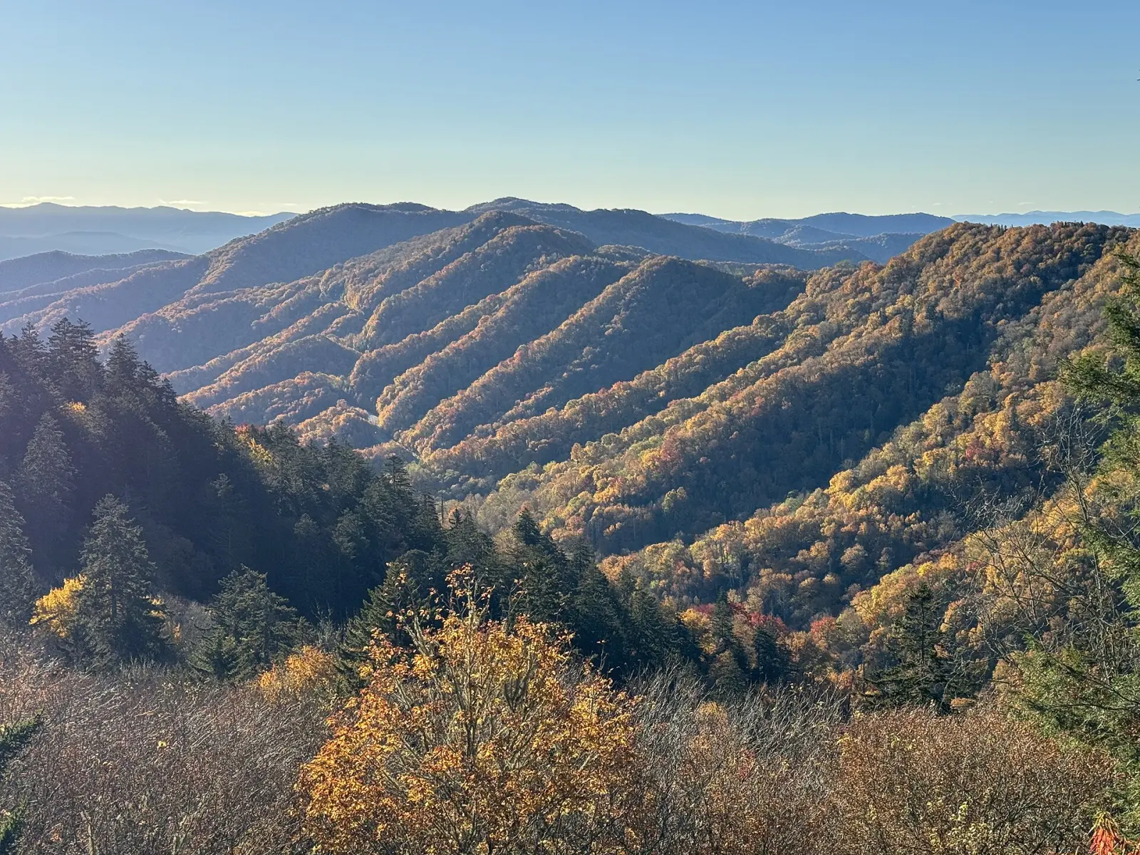
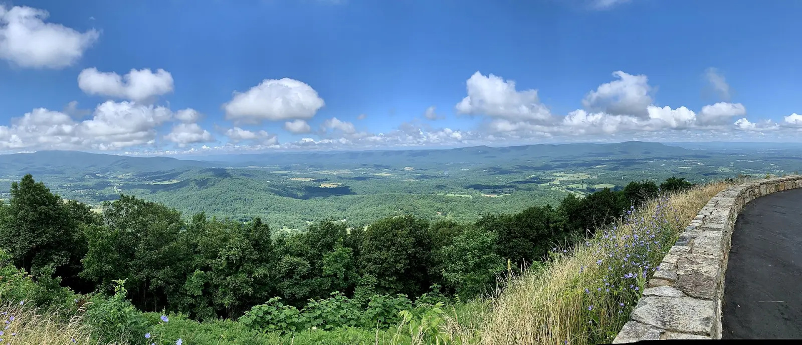
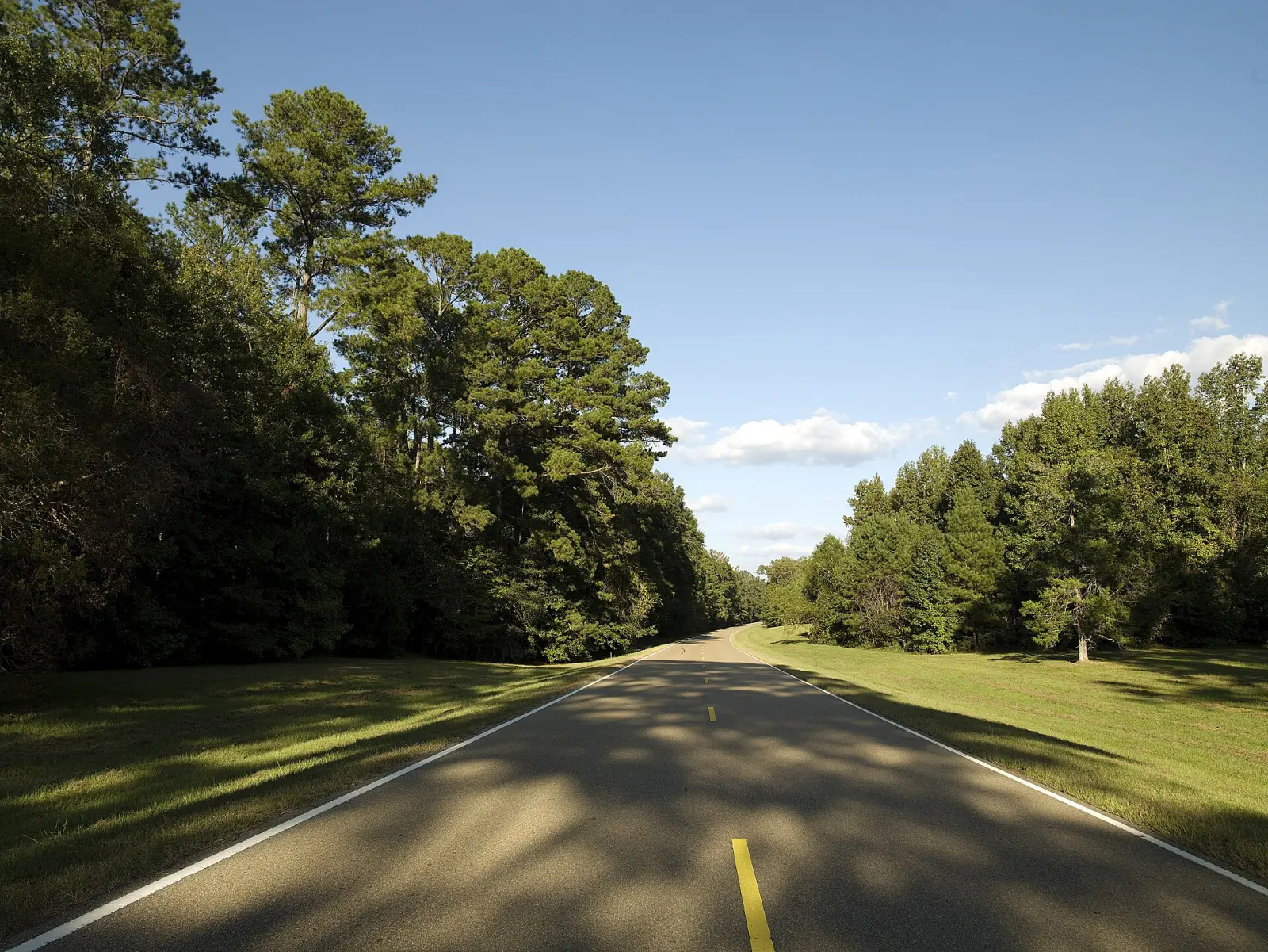
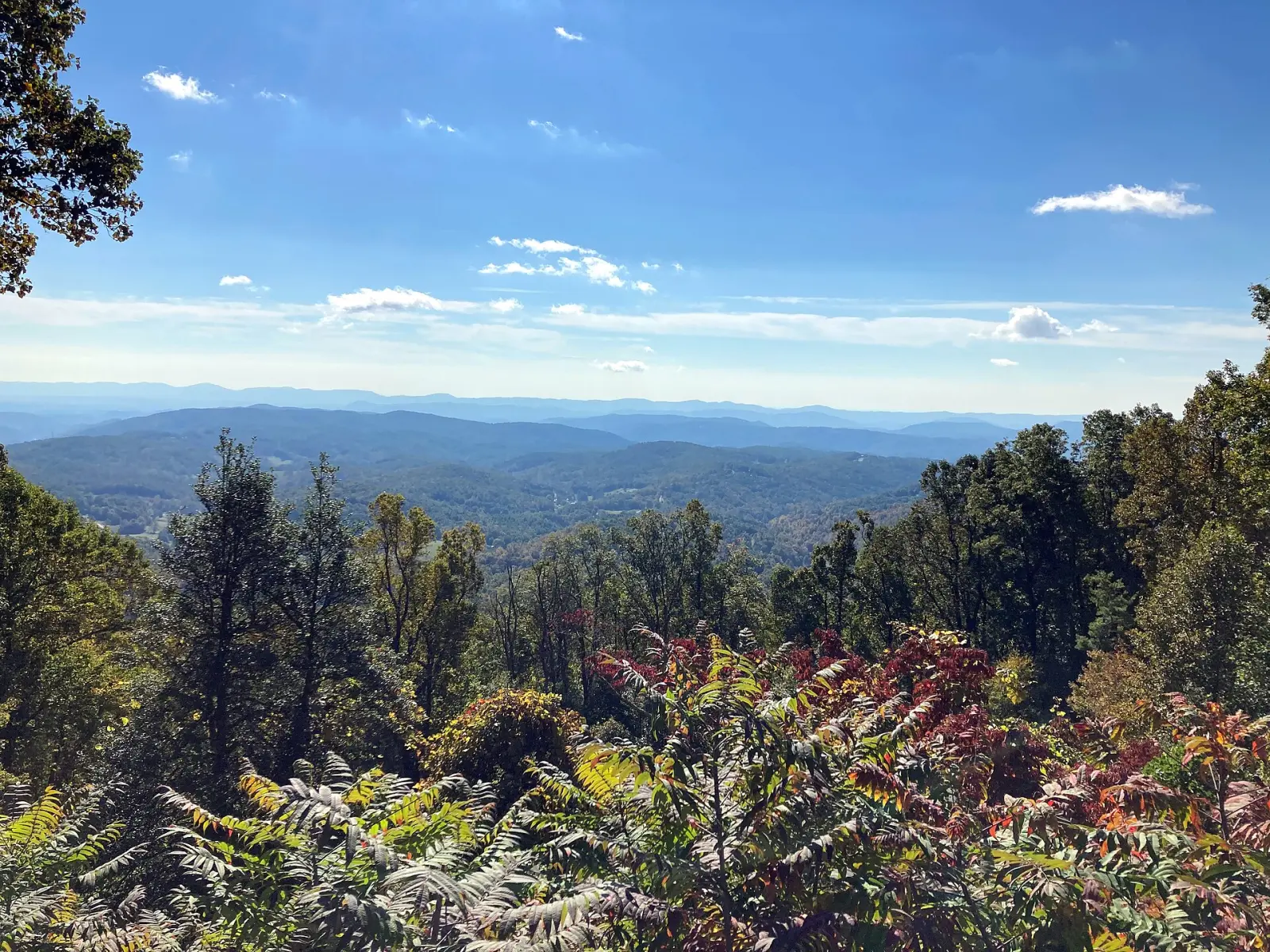
Photo: View from Stoney Fork Overlook along the Blue Ridge Parkway, near Deep Gap, North Carolina. “Blue Ridge Parkway October 2022 1 (Stoney Fork Overlook)” by Michael Barera, CC BY-SA 4.0, via Wikimedia Commons. “Newfound Gap - October 2023 - Sarah Stierch 03” by Missvain, CC BY 4.0. “Skyline Drive overlook view” by APK, CC BY-SA 4.0. “Natchez-Trace-Parkway-Highsmith” by Carol M. Highsmith (1946–), Public domain.


